A Local Look at Trails, Open Space and the San Ramon Valley
Yasmine Austere | REALTOR® & Relocation Specialist
Where can you walk or hike near Danville?
You can go from an easy paved walk near downtown to open ridgelines, oak-dotted hills and more challenging trails without going very far at all. That contrast is one of the things I appreciate most about walking and hiking around Danville.
There are mornings when the Iron Horse Regional Trail is exactly what I want. Other days, I’d rather head toward the hills and feel a little farther removed from town.
THE IRON HORSE TRAIL IS PART OF DANVILLE’S RHYTHM
I don’t really think of the Iron Horse Trail as a destination hike. It feels more woven into everyday Danville.
The paved regional trail follows a former Southern Pacific railroad corridor and passes right through town, continuing toward Alamo in one direction and San Ramon in the other.
What I like about the Danville stretch is the combination: you can walk for a while and still be close to downtown. It’s an easy way to experience a different side of Danville without making an entire day of it.
Each option offers a different way to experience the area.
WHEN I WANT THE HILLS, I THINK OF SYCAMORE VALLEY
Sycamore Valley Open Space Regional Preserve feels completely different.
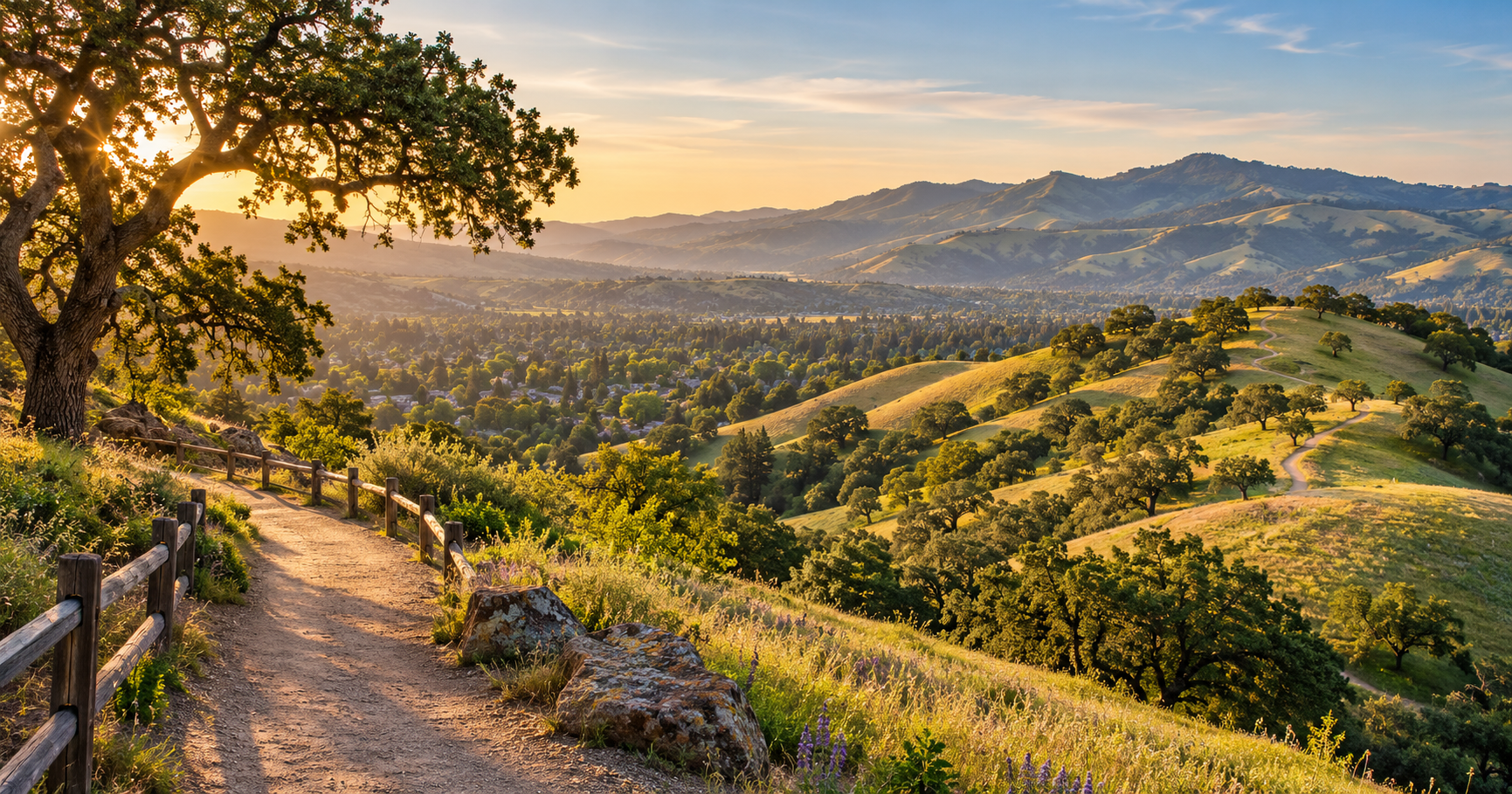
Here, the landscape opens into the rolling grassland ridges that are so recognizable in this part of the East Bay. The preserve sits south of Mount Diablo, with elevations of roughly 600 to 1,000 feet and a network of trails across open hills and scattered oak country.
The terrain has more elevation than the Iron Horse Trail, so this is where I’d go when I want the walk to feel more like a hike.
ONE OF THE NEWER TRAIL STORIES IN DANVILLE
A particularly interesting addition is Magee Preserve.
In 2025, more than 3.5 miles of public trail access were formally opened there, creating new connections into Sycamore Valley Open Space Regional Preserve.
I like this because it says something larger about Danville. Even as the area has grown, connections to open space are still being created and preserved.
FROM A PARK WALK TO A MUCH BIGGER TRAIL
Hap Magee Ranch Park is another place I enjoy because you can keep the outing very simple — or use it as the beginning of something much longer.
The park itself has walking paths and a wonderful sense of local history. It was once ranchland and, before that, the site of Camp Swain, a summer camp for San Francisco orphans.
From here, the Las Trampas to Mt. Diablo Regional Trail heads through the San Ramon Valley landscape and ultimately connects Las Trampas with Mount Diablo State Park. The regional trail is about five miles and moves through a striking mix of neighborhoods, grassland, chaparral and ancient oaks.
WHAT I LIKE ABOUT WALKING AROUND DANVILLE
For me, it’s the variety.
You don’t have to choose between town and open space. In Danville, those two things sit remarkably close together.
You can start with a relaxed walk near downtown, find yourself climbing an open ridge another day, or follow a trail that eventually leads toward Mount Diablo.
That changing landscape is part of what gives the San Ramon Valley its character — and one of those details you understand much better once you’ve spent some time here.
As Yasmine Austere, REALTOR® and Relocation Specialist, I love sharing the smaller details of the East Bay that don’t always show up on a map. The trails, back roads, hills and everyday places are often what tell you the most about an area.